Most people never read an Official Plan, and I don't blame them. But if you're buying a home in East Gwillimbury, the East Gwillimbury Official Plan is the one document that tells you where the cranes go, where they don't, and which version of small-town EG you're actually buying into. The Town quietly adopted an updated one in late 2025, and it plans the township all the way out to 2051. Here is the plain-English version, and what it means for your search.
What the Official Plan actually is
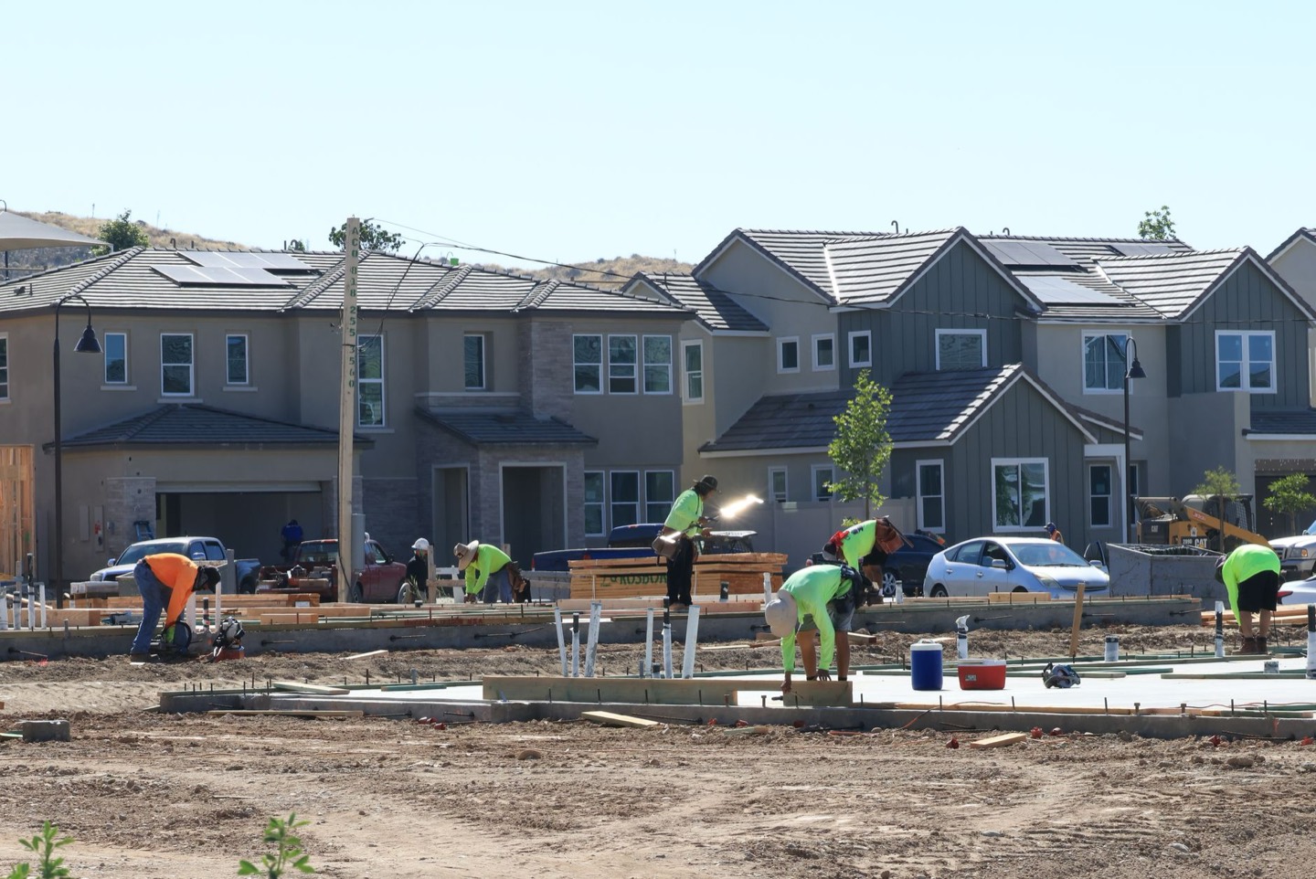
An Official Plan is a town's long-range blueprint for what gets built where, over decades. East Gwillimbury adopted its updated plan and submitted it to the Province in November 2025, and it looks ahead to 2051. The headline number is worth sitting with: EG is planning to grow from roughly 34,600 people at the 2021 census to more than 127,600 residents by 2051. That is not a tweak. That is a town roughly tripling in a generation.
The important part: it does not grow everywhere
This is the piece I wish more Buyers understood. The Plan does not spread that growth evenly across the township like butter. It funnels the height and density into a short list of designated spots and leaves the rest comparatively alone. In planning language those spots are Major Transit Station Areas, Major Local Centres and Corridors. In plain language: a handful of mixed-use centres get the apartments, the mid-rise and the density, while most of the map stays low-rise, farmland or protected greenbelt.
Across the growing part of town, the Plan marks five higher-density centres, with a sixth, smaller one out in Mount Albert. Map them and a clear shape appears. They line up on two spines and one connector.
The short version: density is headed for the Yonge Street spine in Holland Landing, the Leslie Street and Highway 404 spine through Queensville and Sharon, and the Green Lane corridor that connects them, anchored by the GO station. Mount Albert sits outside all of it, on purpose.
The five places density is headed
Start on the west side, the Yonge Street spine. The Plan marks two smaller mixed-use centres in Holland Landing, including a confirmed Major Local Centre at Yonge Street and Green Lane West. This is main-street-scale intensification, not towers.
The real density sits on the Leslie Street and Highway 404 spine. Queensville carries the largest of the five centres, planned along Leslie Street, alongside its future commercial core, the new hospital site and the new schools coming to town. Just south, Sharon shares the same corridor with medium and high-density designations of its own.
And then there is the Green Lane corridor, the connector, and arguably the most interesting piece of the whole plan.
The Green Lane corridor: EG's transit downtown in waiting
If you want to know where East Gwillimbury is trying to build something genuinely new, it is Green Lane. The Town's Green Lane Secondary Plan designates this corridor for mixed-use, mid-rise development, homes above shops, the densest housing planned anywhere in the township. And it does so for one reason: transit. The corridor is anchored by the East Gwillimbury GO station, the northern end of the Barrie line, and it is the planned terminus of the Green Lane Rapidway, a dedicated bus rapid transit line running roughly eight kilometres up from Newmarket, with the Yonge Street Rapidway set to reach it eventually too.
What makes Green Lane worth watching is exactly that it does not belong to any one of the four historic villages. It is a new, transit-oriented centre forming in the seam between Holland Landing and Sharon, right where the GO station already sits. If EG ever grows a real downtown, this is where the Plan puts it.
Mount Albert, on purpose, is the exception
It is worth saying plainly: none of the five centres is in Mount Albert. The Plan keeps it outside the intensification structure, and the protected greenbelt wrapped around it does the rest. If you are a Buyer who wants the established, stays-small version of EG, that is not an accident. It is the Official Plan in writing.
What it means for your home search
Two honest takeaways. First, if you want growth and brand-new product, you want to be on or near those centres. That is most of why I am bullish on Queensville and the Green Lane corridor: density designations and transit underwrite land value over time, and that is where the new-build and pre-construction inventory concentrates. Second, if you want stability, the same map tells you where the township is deliberately not sending the cranes. Both are legitimate buys. The mistake is not knowing which one you are standing in.
One caveat worth keeping in mind: this Plan is adopted but still under provincial review, and big growth in EG is also gated by regional water and sewer servicing catching up before major projects proceed. The direction is set; the timing will move. The Bradford Bypass is the other half of this story, the highway link that makes a lot of this growth function.
If you want to know which of these five places fits the home you are actually trying to buy, and what is realistic at your budget, that is the conversation I have with people every week. It is also the kind of thing I break down community by community in my East Gwillimbury area guide.
Common Questions
What is the East Gwillimbury Official Plan?
It's the town's long-range blueprint for what gets built where, over decades. East Gwillimbury adopted its updated Official Plan and submitted it to the Province in November 2025, and it looks ahead to 2051. For a Buyer, it's the one document that tells you where the density is headed and where it isn't.
Where is East Gwillimbury planning to grow?
The Plan funnels height and density into five higher-density centres, with a smaller sixth in Mount Albert. They line up on two spines and a connector: the Yonge Street spine in Holland Landing, the Leslie Street and Highway 404 spine through Queensville and Sharon, and the Green Lane corridor that links them, anchored by the GO station. The rest of the township stays comparatively low-density.
Does the Official Plan change anything for Mount Albert?
Deliberately little. None of the five growth centres is in Mount Albert. The Plan keeps it outside the intensification structure, and the protected greenbelt around it does the rest, so it stays the established, quieter place rather than absorbing the cranes.